
28-06-2021 12:44 | Estofex | m.b.t. 28-06-2021
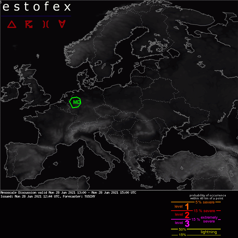
Mesoscale Discussion
Valid: Mon 28 Jun 2021 13:00 to Mon 28 Jun 2021 15:00 UTC
Issued: Mon 28 Jun 2021 12:44
Forecaster: TUSCHY
Mesoscale Discussion:
Placed beneath an increasingly divergent upper flow regime, CI probabilities increase in the MD area. In addition, a passing short wave adds some additional but weak synoptic-scale lift.
Earlier, a low-topped but long-lived supercell crossed far W Germany but a stable BL stratification kept severe risk on the lower-end/isolated side.
Surface T/Tds now in the 27/19 celsius range decrease CIN and increase near surface based CI. Current cells show a trend to tightening inbound/outbound couplets and an isolated tornado event is possible with backed LL flow ahead. Besides, isolated hail and severe wind gusts are also forecast. A gradual weakening trend is expected until the evening hours.
Hagel(-schade) | Tornado/hoosverschijnsel(en) | Wind/storm (-schade)
